.png)
DIGITAL MAPPING PROJECTS
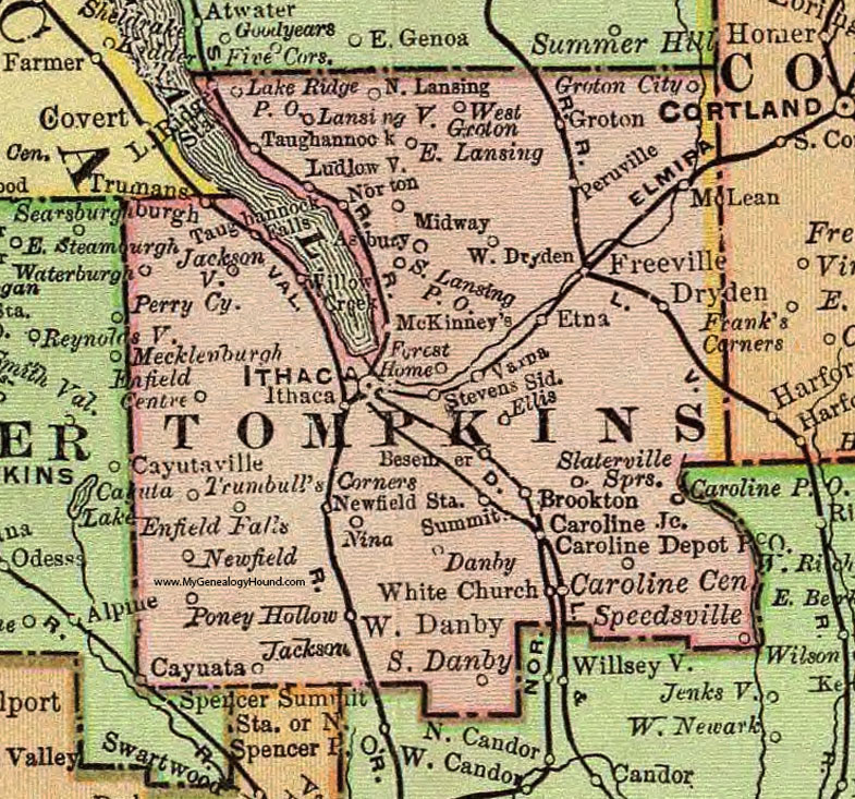
- Tompkins County HistoryForge - tompkins.historyforge.net - County overview and township detail maps from 1800s-1950. Includes searchable census and building records
- Historical Markers in NYS - hmdb.org - Independent project mapping historic markers and road signs
- Tompkins County Rural Black Residents Project - Independent project exclusively mapping census records of Black residents in Tompkins County during 1800s
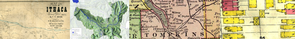
HISTORY CENTER MAP COLLECTIONS
|
|
 MODERN MAPS OF TOMPKINS COUNTY
For modern maps of Tompkins County, we encourage you to explore the resources on the Tompkins
County Mapping Portal, maintained by the Tompkins County IT Department.
SANBORN MAPS AND HISTORYFORGE
 The Tompkins County HistoryForge project uses maps from the Sanborn Fire Insurance Atlas of Ithaca for 1910. The Sanborn maps were done for every village, town and city in the United States about every seven to eight years from roughly 1880 to 1930. The Library of Congress has a very complete collection. The collection has been only very partly digitized but the Library’s site features a complete list of all the maps. Read an excellent article titled "Introduction to the Sanborn Map Collection" featured on the Library of Congress webpage.
The Sanborn maps are very large scale maps and show every building in considerable detail. The maps are color-coded for construction materials and other features are displayed using a set of symbols that remained in use throughout the publication history. Commercial properties are heavily annotated so that the insurance underwriter could estimate risk.
Locally there is a very complete set for the City of Ithaca although this is scattered over four different collections. The Tompkins County Public Library has digitized The History Center’s collection and made them available online. These are being rescanned at a higher resolution and uploaded to the HistoryForge site, where they will be geo-rectified. There is a fairly complete set for Trumansburg at the Ulysses Historical Society. Dryden has a full set of black and white three-quarter-sized reprints.
|
|
|
|


© Copyright 2020-2024 The History Center in Tompkins County
Web Design by Zoë Van Nostrand