.png) HistoryForge is an innovative digital history project combining maps, archival records, and census data that allows any community to explore its local history through the individuals who lived there and the buildings and neighborhoods they lived in.
HistoryForge is an innovative digital history project combining maps, archival records, and census data that allows any community to explore its local history through the individuals who lived there and the buildings and neighborhoods they lived in.
Our pilot project began in 2016 and focuses on exploring the history of Ithaca, New York in the late 19th and early 20th century using interactive search functions which allow users to find information on historic maps about people and places.
Click the icon to the left to access the Tompkins County HistoryForge.
HistoryForge is open source and is being designed so that it could be adapted by any community with historical maps and untapped information resources such as the census. Development and refinement continue as time and resources allow. Our goal is the development of a full-featured web environment that will provide a new way of exploring local history.
Search results display on background layers of historical maps—engineering maps from the 1890’s and fire insurance maps from 1910 and 1920—all at a scale that clearly shows the footprints of individual buildings. With the dynamic opacity slider on the Map It function you’re able to uncover the historical layers of a much earlier Ithaca. The displayed records give you new insights into neighborhoods and how they changed. |
Using the powerful HistoryForge search engine the information can be filtered and sorted to generate a thousand stories –stories of individuals, families, ethnic and occupational groups and much more!
HistoryForge.github.io is an evolving digital history project. We are working on adding to the digital records and refining the search and mapping functions on the site itself. Help us improve HistoryForge by becoming a volunteer!
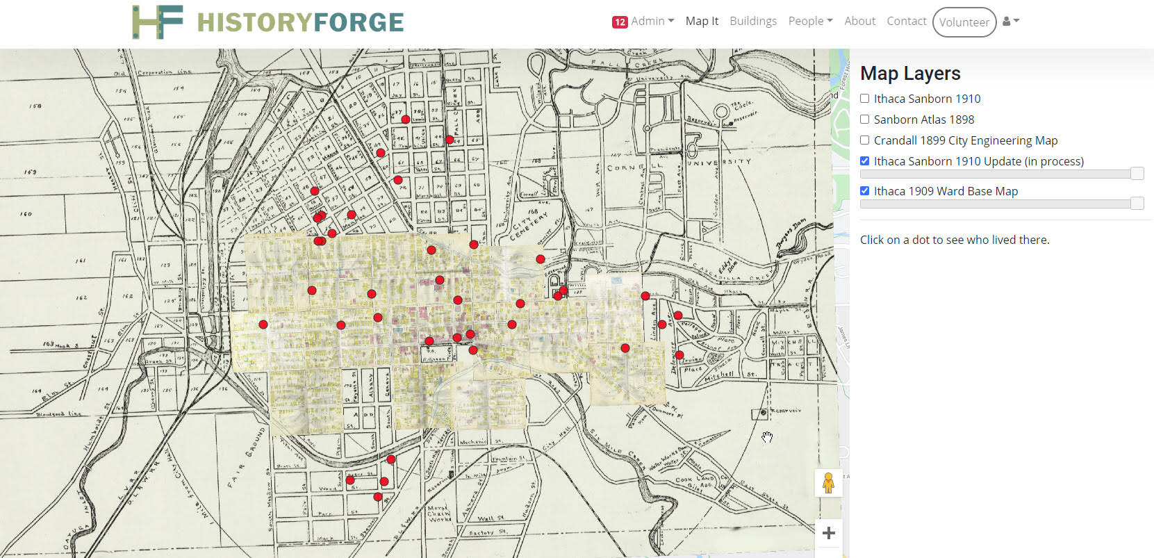
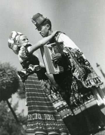
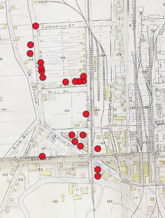
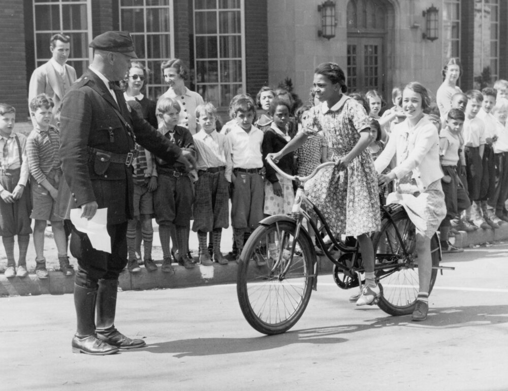
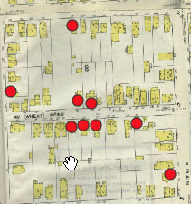
| EXAMPLE SEARCH To the left you can see images from the Hungarian community in Ithaca at the turn of the 20th century. To the right you can see the "Map It" function of HistoryForge, which with this search allows you to see every Hungarian household in downtown Ithaca in the early 1900s. Ithaca's Hungarian community grew in the early 20th century as Hungarian refugees left their home country following WWI and the collapse of the Austro-Hungarian empire. |
|
Use the HistoryForge Website Learn About:
Visit Tompkins.historyforge.net and through the "Buildings" or "People" pages you can then select "Filters" beneath the page title. Add in information to narrow your search (eg. a last name to find a person, or street name to find a building). At this time we've only entered records for inhabitants in the City of Ithaca between 1880-1940. Be aware that the census records in the first half of the century were entirely written by hand, and some census spellings may differ from your records. Also many street names and numbers have changed in the last 80 years, so exact address matches might not always exist.
Mapping your results. When you click "View" your search results will appear on a modern Google Map. To see the same results on historical maps, pull down "The Forge" menu and choose a map layer. Many of these are still under construction or are restricted to certain areas. The 1910 Sanborn map is completely digitized. You can add a second layer (for example the City Engineering Maps) by adding a "Bottom Map" and use the opacity slider to explore several of the map layers at once. You can also get Google's satellite view from the tab in the upper left corner.
PEOPLE Learn more about the people who lived in Ithaca from information recorded in the U.S. Census. We have created a database of people which can be searched from the website by name, address, or employment.
| PLACES Learn about the places they lived and worked. We have created a database of Ithaca buildings using the information from historic maps (Sanborn fire insurance maps and others) as well as archival information.
| MAPS Choose a map layer of Ithaca from 1898, 1899, or 1910 overlayed on a modern Google Map to see the changing landscape of the city of Ithaca, or to track specific property histories.
Map image of African-American homeowners in 1910 |
| The Sanborn Maps are a series of highly detailed maps of the City of Ithaca from the late 19th and early 20th century. You can see selections of the original maps on the Tompkins County Public Library website, and see how the city landscape has changed from the 1890's to modern day using the HistoryForge Map It tab. |
HistoryForge for Kids!
We know research databases can be a little overwhelming to jump into, so we've created some research activities for ages 8 and up to help them get familiar with how to use HistoryForge. Download the activities by clicking on the pictures and contact historyforge@thehistorycenter.net with any questions. Download the complete History at Home Activity Sets here. |
HISTORYFORGE RUNS ON VOLUNTEERS! The HistoryForge project in Tompkins County is spearheaded by Eve Snyder, and History Center trustee Robert Kibbee. However the time intensive work of digitizing all the materials and coding them into the database is entirely done by our phenomenal crew of volunteers. Volunteers have transcribed the U.S. Census from 1900-1940 to create a repository filled with information about historic Ithaca’s people and buildings. We are actively taking volunteer applications to help with georectification/map layer construction, recording information encoded in historic maps, and adding archival resources so they can be more easily searched. Volunteers transcribe records at our bi-monthly Transcription Bees* or on their own time at home. Check out the Events calendar for upcoming sessions and complete your HistoryForge Volunteer application below. *We've currently migrated our in-person transcription sessions to be done over Zoom to maintain physical distancing recommendations. HISTORYFORGE VOLUNTEER APPLICATION Learn about other volunteer and internship opportunities with The History Center here.
|
|
|
|
Recognizing the HistoryForge Visionaries
| HistoryForge was the long-term vision of History Center trustee and volunteer Robert Kibbee. Kibbee passed away in 2022, but his vision for an interactive web environment merging his passions for maps, census data, genealogy, and local history lives on. We are grateful to Bob as co-founder, creator, and stalwart supporter of HistoryForge during its formative years, and for never losing sight of what it could become. |
 In the initial phase of development (2016-2019) David Furber built and designed the software for building descriptions and census records on the fly, while the volunteer transcribers were entering the data. The 2019-2021 grant from the National Historical Publications and Records Commission provided Dave the support needed to expand HistoryForge's user friendliness and build the sister sites for Auburn, Elmira, and Oberlin.
.png)

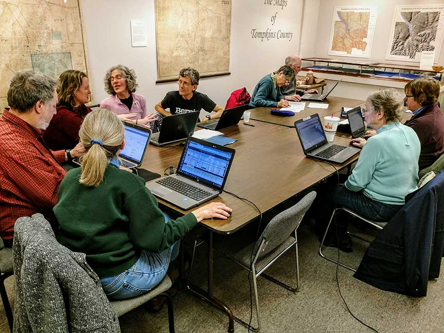 HistoryForge Transcription Session
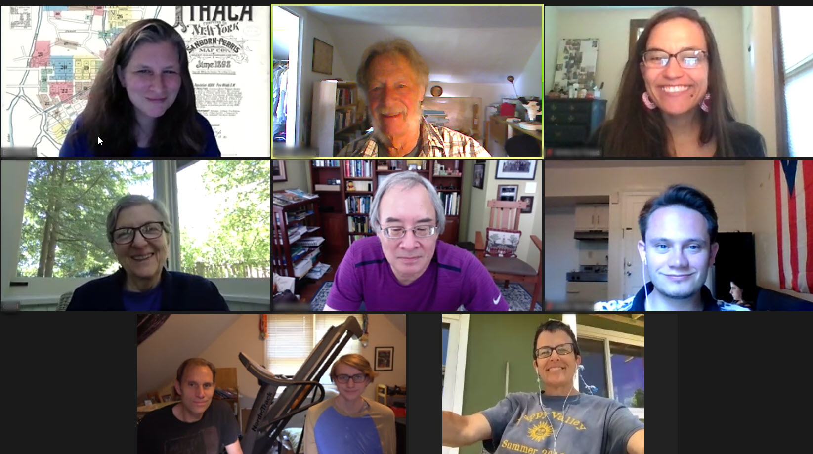 HistoryForge Virtual Transcription Session - June 2020


